



Skip to content

Public works + utilities

Get to the Point
of Work.

Work and asset management shaped around your operation and administered by our team.

Software that fits. People you can reach.

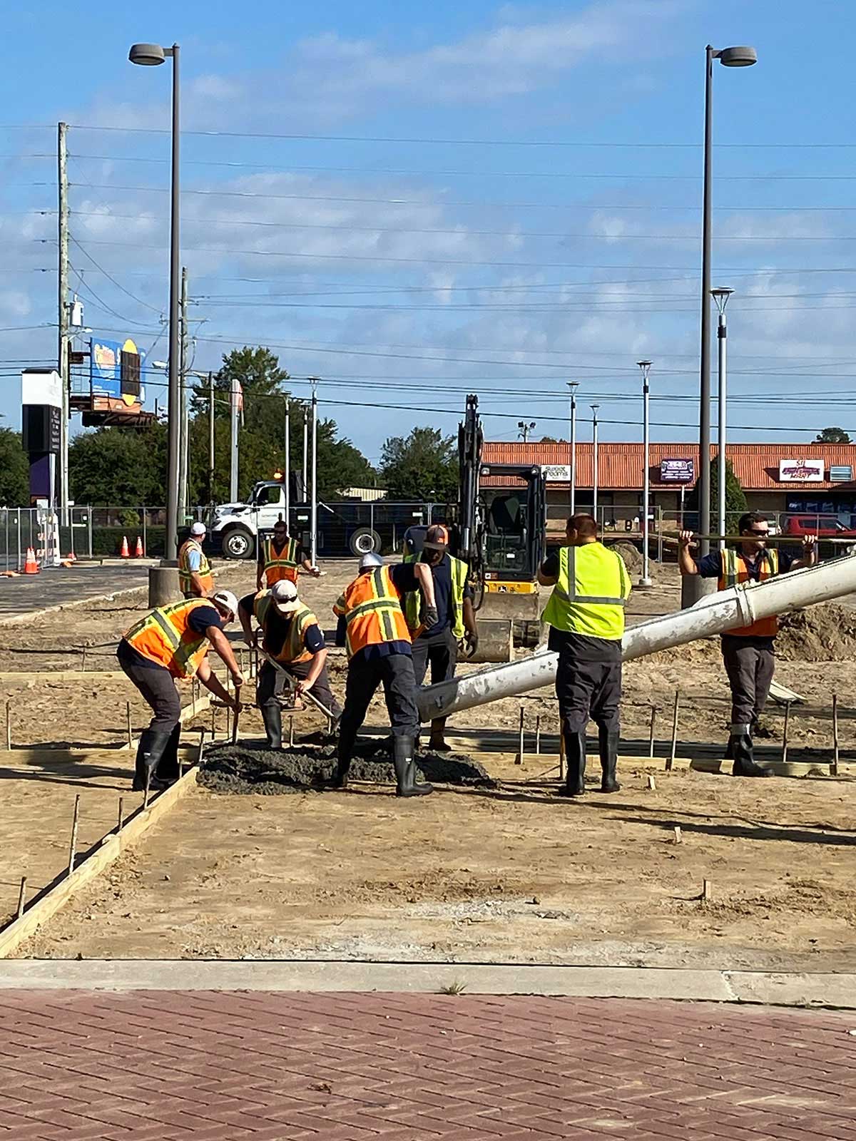
Greenville Public Works crews placing concrete during street construction.
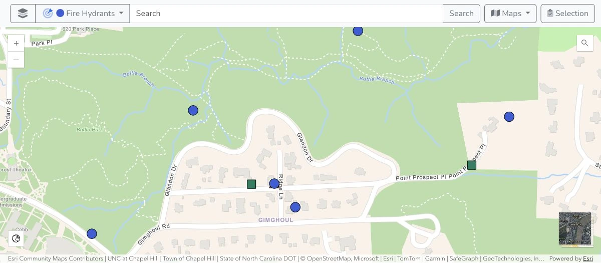
Neighborhood map showing hydrants and scheduled water operations work.

Trusted by the teams doing the work.

  • City of Concord, North CarolinaCity of Concord, NC
  • City of Monroe, North CarolinaCity of Monroe, NC
  • Stanly County, North CarolinaStanly County, NC
  • City of Greenville, North CarolinaCity of Greenville, NC
  • Town of Stanley, North CarolinaTown of Stanley, NC
  • Town of Boone, North CarolinaTown of Boone, NC
  • City of Thomasville, North CarolinaCity of Thomasville, NC
  • Halifax County, North CarolinaHalifax County, NC
  • Town of Wadesboro, North CarolinaTown of Wadesboro, NC
  • City of Lincolnton, North CarolinaCity of Lincolnton, NC

You run the work.
We take care of Mavtrek.

Fits your operation

We shape Mavtrek around your workflows, assets, and the way your team works.

Administered for you

Our team handles configuration and ongoing system administration as your operation evolves.

People you can reach

Talk with a team that knows your system and your operation, and stays involved.

Discover our approach

Good work. Real stories.

Different operations. A shared focus on the people doing the work.

A Greenville street crew working together to place concrete.

Public works · Greenville, NC

A clearer picture of the work.

Greenville began with Street & Stormwater, moving from paper tracking to field information that helped the department understand its work and communicate resource needs.

Read the Greenville story
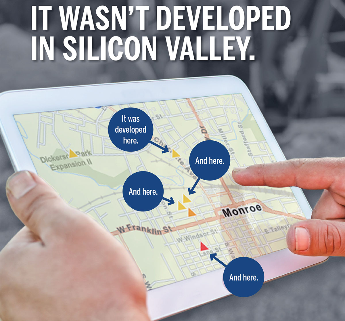
Historical Monroe case-study artwork showing a tablet map and highlighting where Mavtrek was developed alongside crews.

Utilities · Monroe, NC

Built alongside the crews.

Mavtrek took shape alongside Monroe’s utility crews, starting with 811 locate work and expanding into other operational needs through direct collaboration with staff.

Read the Monroe story

One connected view of the work.

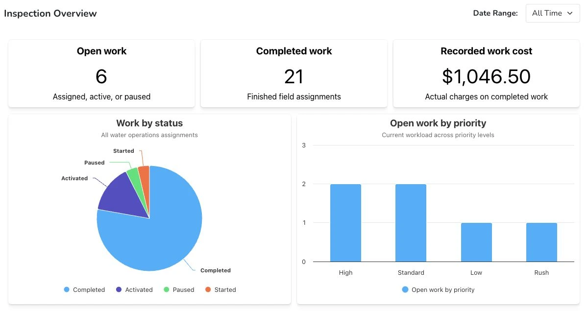
Know what needs attention, where work is assigned, and what was recorded when it was completed. Connect field records to the decisions you need to make.

Inspection dashboard with open and completed work, recorded costs, and charts by status and priority.
View full size of the inspection dashboard
  • Connect your GIS

    See work alongside your ArcGIS or Diamond Maps layers and keep selected asset details current.

  • Bring in 811 and 311 requests

    Give staff one place to review locate tickets and resident reports, assign crews, and track the work.

  • See how crews use My Work

    Find the next stop, save checklists and photos, and complete assigned work in the field.

  • Apps for each team

    Open the maps, work queues, and dashboards configured for your team.

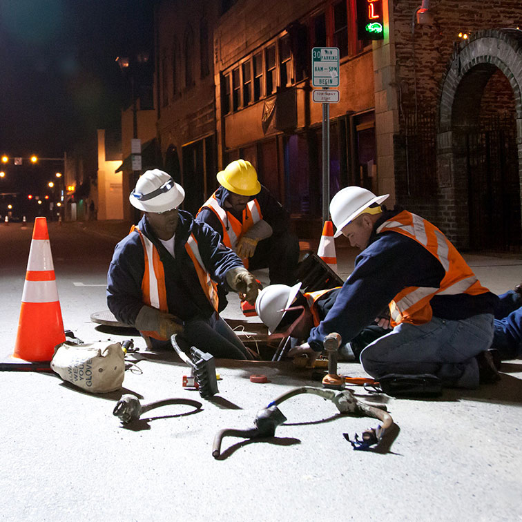
A field crew in high-visibility clothing maintaining utilities beneath a city street at night.

Why Mavtrek

Created around the realities of the work.

Mavtrek was created to make operational software fit the people using it. We combine practical software with a team that stays involved, from configuration to everyday administration.

Get to know Mavtrek

See how Mavtrek could fit your operation.

Bring one of your workflows. We’ll explore the asset context, assignments, and records your team needs.

See a demo